File:Middle East (orthographic projection).svg

Size of this PNG preview of this SVG file: 553 × 553 pixels. Other resolutions: 240 × 240 pixels | 480 × 480 pixels | 768 × 768 pixels | 1,024 × 1,024 pixels | 2,048 × 2,048 pixels.
kuleha na ku anama hixitalo (Fayili ya SVG, vukulu lebyi ringaneke 553 × 553 hi ti phikisele, vukulu bya fayili: 328 KB)
Nkomiso
| Description | Vuxa-dyambu bya le xikarhi | ||||
| Date | |||||
| Source |
Own work (Original text: Own work,)
|
||||
| Author | TownDown | ||||
| Other versions |
.svg) |
||||
| SVG genesis |
.svg)
.svg)
.svg)
.svg)
.svg)
.svg)
.svg)
.svg)
.svg)
.svg)
.svg)
.svg)
.svg)
.svg)
.svg)
.svg)
.svg)
.svg)
.svg)
.svg)
.svg)
.svg)
.svg)
.svg)
.svg)
.svg)
.svg)
.svg)
.svg)
.svg)
.svg)
.svg)
.svg)
.svg)
.svg)
.svg)
.svg)
.svg)
.svg)
.svg)
.svg)
.svg)
.svg)
.svg)
.svg)
.svg)
.svg)
.svg)
.svg)
.svg)
.svg)
.svg)
.svg)
.svg)
.svg)
.svg)
.svg)
.svg)
.svg)
.svg)
.svg)
.svg)
.svg)
.svg)
.svg)
.svg)
.svg)
.svg)
.svg)
.svg)
.svg)
.svg)
.svg)

.svg)

.svg)

.svg)
.svg)
.svg)
.svg)
.svg)
.svg)
.svg)


.svg)
.svg)
.svg)
.svg)
.svg)
.svg)
.svg)

.svg)
.svg)
.svg)
.svg)
.svg)
.svg)
.svg)
.svg)
.svg)

.svg)
.svg)
.svg)
.svg)
.svg)
.svg)
.svg)
_without_national_boundaries.svg)
.svg)
.svg)
.svg)
.svg)
.svg)
.svg)

.svg)
.svg)
.png)
.svg)
.svg)
.svg)
.svg)

.svg)
.svg)
.svg)
.svg)
.svg)
.svg)
.svg)
.svg)
.svg)
.svg)
.svg)

.svg)
.svg)
.svg)
.svg)
.svg)
.svg)
.svg)
.svg)
.svg)

.svg)
.svg)

.svg)
.svg)
.svg)
.svg)
.svg)
.svg)
.svg)
.svg)
.svg)
.svg)
.svg)
.svg)
.svg)
.svg)
.svg)
.svg)
.svg)
.svg)
.svg)
.svg)
.svg)
.svg)
.svg)
.svg)
.svg)
.svg)
.svg)
_-_Crimea_disputed.svg)
.svg)
.svg)
.svg)
.svg)
.svg)
.svg)
.svg)
.svg)
.svg)
.svg)
.svg)
_political.svg)
.svg)
.svg)
.svg)
.svg)
_-_Crimea_disputed_-_no_borders.svg)
.svg)
.svg)
.svg)
.svg)
.svg)
.svg)
.svg)
.svg)
.svg)
.svg)
.svg)

.svg)
.svg)
.svg)

.png)
.svg)
.svg)
.svg)
.svg)
.svg)
.svg)
.svg)
.svg)
.svg)
.svg)
.svg)
.svg)
.svg)
.svg)
.svg)
.svg)
.svg)
.svg)
.svg)
.svg)
.svg)
.svg)
.svg)
.svg)
.svg)
.svg)
.svg)
.svg)
.svg)
.svg)
.svg)
.svg)
.svg)
.svg)
.png)
.svg)
.svg)
.svg)
_(orthographic_projection).png)
.svg)
.svg)
.svg)
.svg)
.svg)
Nawu wo pfumelela
I, the copyright holder of this work, hereby publish it under the following license:

|
Permission is granted to copy, distribute and/or modify this document under the terms of the GNU Free Documentation License, Version 1.2 or any later version published by the Free Software Foundation; with no Invariant Sections, no Front-Cover Texts, and no Back-Cover Texts. A copy of the license is included in the section entitled GNU Free Documentation License. |
| This file is licensed under the Creative Commons Attribution-Share Alike 3.0 Unported license. | ||
| ||
| This licensing tag was added to this file as part of the GFDL licensing update. |
| Annotations | This image is annotated: View the annotations at Commons |
Matimu ya fayili
thlava eka siku/nkarhi leswaku u vona leswi fayili ayirixiswona hi knarhi walowo
.svg&dir=prev)
.svg&offset=20210329031415)
.svg&offset=&limit=20)
.svg&offset=&limit=50)
.svg&offset=&limit=100)
.svg&offset=&limit=250)
.svg&offset=&limit=500)
| Siku/Nkarhi | Xifanisonyana | Mpimo | Mutirhisi | Nhlamulo | |
|---|---|---|---|---|---|
| Sweswinyana | 03:10, 27 Sunguti 2023 | | 553 × 553 (328 KB) | Treetoes023 | Reverted to version as of 15:50, 29 April 2021 (UTC): A map of the Middle East with all white borders will be made so this one can stay the same. |
| 17:17, 22 Sunguti 2023 |  | 553 × 553 (328 KB) | M.Bitton | highlighted the inner borders, per request. Feel free to revert if you disagree | |
| 15:50, 29 Dzivamusoko 2021 |  | 553 × 553 (328 KB) | LightandDark2000 | Reverted to version as of 09:19, 6 April 2021 (UTC) Stop edit-warring. And your your're a [[:User:Mazum24}Mazum24]] sock, you're going to be Globally Locked. | |
| 15:28, 29 Dzivamusoko 2021 |  | 553 × 553 (406 KB) | Inkify | Reverted to version as of 07:56, 6 April 2021 (UTC) | |
| 09:19, 6 Dzivamusoko 2021 |  | 553 × 553 (328 KB) | Chipmunkdavis | Reverted to version as of 17:15, 17 March 2015 (UTC) Rv to stable image that has roughly been in place for a decade. New definition is far more restrictive than common usage. | |
| 07:56, 6 Dzivamusoko 2021 |  | 553 × 553 (406 KB) | GPinkerton | Reverted to version as of 16:16, 3 April 2021 (UTC) See talk page. There are already numerous maps of looser definitions these images should be used for those purposes. Wikipedia's (badly sourced, inaccurate) "Middle East" article should not govern the contents of this page. | |
| 07:41, 6 Dzivamusoko 2021 |  | 553 × 553 (328 KB) | Rsk6400 | Reverted to version as of 17:15, 17 March 2015 (UTC) - see COM:OW. Significantly changing this file causes problems, e.g. on en:Middle East | |
| 16:16, 3 Dzivamusoko 2021 |  | 553 × 553 (406 KB) | GPinkerton | Reverted to version as of 03:14, 29 March 2021 (UTC) reverting unexplained changes: see talk page | |
| 00:39, 1 Dzivamusoko 2021 |  | 553 × 553 (328 KB) | NotAMonarchist | Reverted to version as of 17:15, 17 March 2015 (UTC) | |
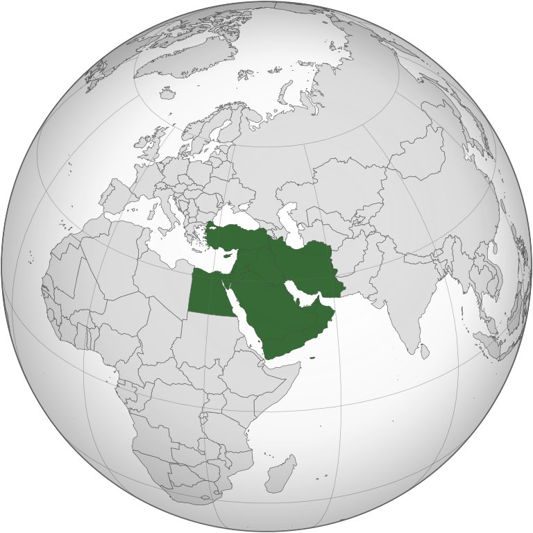
| 03:14, 29 Nyenyankulu 2021 |  | 553 × 553 (406 KB) | GPinkerton | Less expansive definition, according with the "generally accepted" definition mentioned by the ''Concise Oxford Dictionary of World Place Names'' (6th ed.): "comprising Iraq, Iran, Israel, Jordan, Lebanon, Syria, and the Arabian Peninsula". |
Ntsengo wakutirhisiwa ka fiyili leyi
2 matluka lawa makhwekela eka fayili leyi:
Global file usage
The following other wikis use this file:
- Usage on am.wikipedia.org
- Usage on ar.wikipedia.org
- الأردن
- لبنان
- سلطنة عمان
- اليمن
- العراق
- قطر
- إسرائيل
- الكويت
- قطاع غزة
- البحرين
- إيران
- قبرص
- تركيا
- قبرص الشمالية
- قالب:الشرق الأوسط
- إقليم كردستان العراق
- إمارة شرق الأردن
- دولة فلسطين
- بوابة:السعودية
- تاريخ الشرق الأوسط
- سوريا
- الشرق الأوسط الكبير
- بوابة:الكويت
- ويكيبيديا:صناديق المستخدم/بلدان
- مصر
- مطبخ الشرق الأوسط
- السعودية
- موسيقى الشرق الأوسط
- قرار مجلس الأمن التابع للأمم المتحدة رقم 425
- بوابة:القدس
- الشرق الأوسط
- الإمارات العربية المتحدة
- فلسطين
- بوابة:تركيا
- التعليم في قبرص الشمالية
- قرار مجلس الأمن التابع للأمم المتحدة رقم 369
- قرار مجلس الأمن التابع للأمم المتحدة رقم 368
- قرار مجلس الأمن التابع للأمم المتحدة رقم 378
- بوابة:البحرين
- بوابة:البحرين/قوالب
- قرار مجلس الأمن التابع للأمم المتحدة رقم 452
- قائمة نزاعات الشرق الأوسط الحديثة
- مستخدم:Avocato/مصر
- منظمة البورصة والأوراق المالية الإيرانية
- مستخدم:Abdullah Yamani/ملعب
- فيروس كورونا المرتبط بمتلازمة الشرق الأوسط التنفسية
- تصنيف:قادة دول الشرق الأوسط
- بوابة:الكويت/قوالب
- بوابة:السعودية/قوالب
View more global usage of this file.
.svg)
.svg)